(01/10/2019) In the “Anchoring site” signs of disturbance on the meadows were reported and, in some areas, coverage is discontinuous and patchy and the damage to seagrasses seems caused by anchor dragging and scraping anchor chains along the seabed.
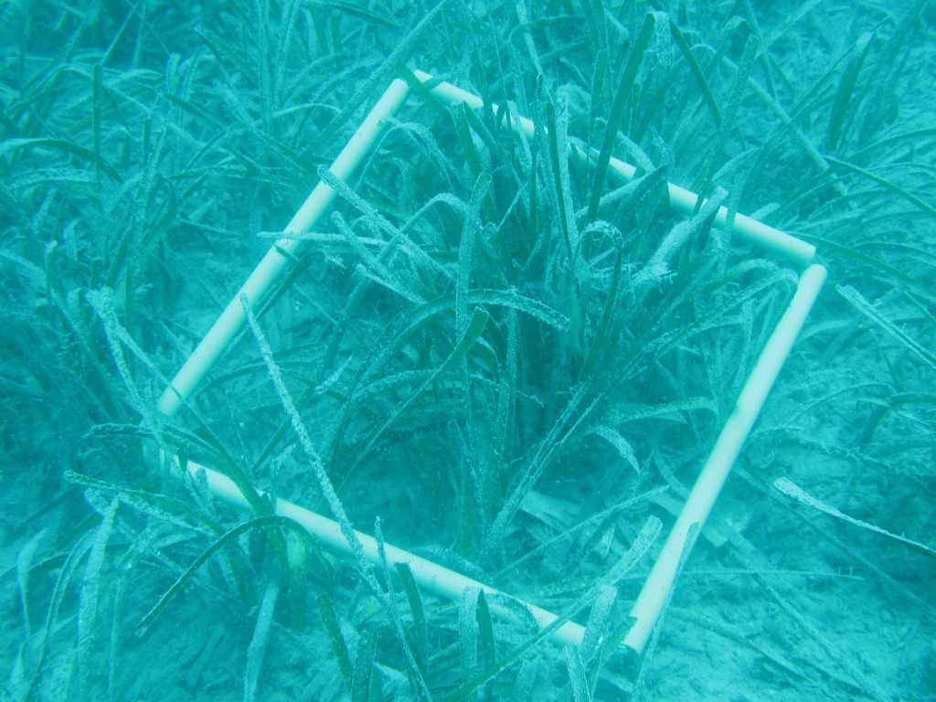
In the Kornati NP site, the preliminary survey was carried out at the end of June. In this case, two typologies of sites, positioned on P. oceanica meadows, have been considered: the first one is the “Anchoring site” where anchoring pressures occur and the second one is the “Diving site” where diving boats frequently anchor for authorized diving activities.
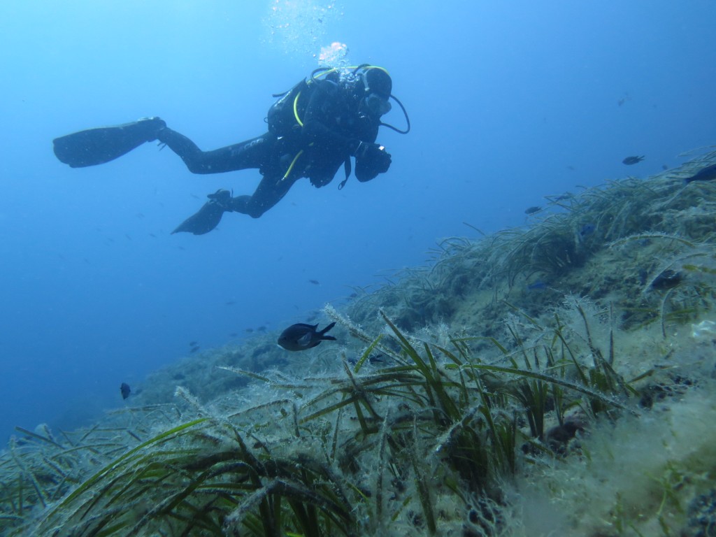
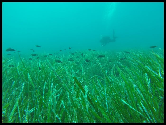
On an overall view, P. oceanica meadows are widespread in the park, down to depths of 25-30 meters and with an irregular distribution that mainly follows the bathymetric pattern of the archipelago.
In the “Anchoring site” signs of disturbance on the meadows were reported and, in some areas, coverage is discontinuous and patchy and the damage to seagrasses seems caused by anchor dragging and scraping anchor chains along the seabed. The “Anchoring site”, due to its morphology, bathymetric trend and exposure to the wind, behaves like a sedimentation basin. At present, it is reasonable to assume that even the numerous anchorages of pleasure boats, in the summer period, are responsible for an important phenomenon of sediment re-suspension.
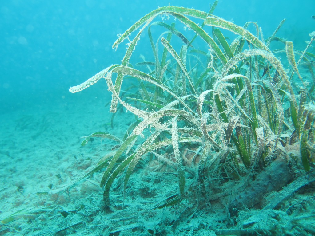
In the “Diving site” the meadow was continuous with no visible signs of disturbance and low sedimentation; only some points were devoid of meadows, but this is believed to be due to natural distribution dynamics and not to human activities impact.